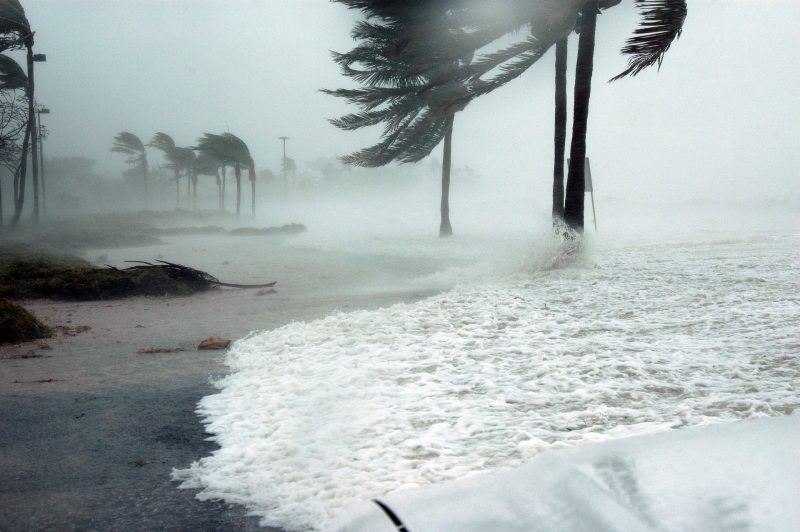
The arrival of Hurricane Fiona and the devastation it has already caused to Puerto Rico is an important reminder that hurricane season is far from over, says Virginia Tech hurricane expert Stephanie Zick. “While it’s been a quiet hurricane season so far, it only takes one storm to make the season impactful.”
Hurricane Fiona has already caused massive power outages and flooding in Puerto Rico and the storm is expected to intensify after bringing damaging strong winds and heavy rain to the Dominican Republic. Zick says the storm is expected to turn north and then northeastward away from the continental U.S., but may bring hurricane conditions to Bermuda and the Atlantic coast of Canada later this week.
“There are still warm sea surface temperatures in place across the central tropical Atlantic, Caribbean Sea, and Gulf of Mexico. Near the U.S. coastline, the waters have been particularly warm and storms have the potential to intensify rapidly close to land,” said Zick. “We definitely need to keep our eyes on the tropics through the end of the season.
“At the beginning of the hurricane season, the North African monsoon season was very active, generating numerous tropical waves, which moved westward over the tropical Atlantic, but these waves quickly dissipated as the waves encountered dry air,” said Zick. “There is also more vertical wind shear than we would normally expect during a La Nina phase. That is, the wind speed and direction are changing with height. Wind shear causes developing tropical systems to tilt.”
Zick said that tropical systems need to be vertically stacked, so wind shear inhibits development. “Other factors have been favorable, including warm sea surface temperatures, but so far this season, most of the tropical waves have been unable to organize in the face of the dry air and wind shear,” she said.
Why is there so much dry air? “Compared with an average summer, there have been a lot of mid-latitude frontal systems moving across the North Atlantic and that has caused there to be drier, sinking air in the subtropics and even farther south into the main development region.
“The vigorous North African monsoon season has also led to large outbreaks of dry Saharan air moving westward over the Atlantic, which is also contributing to the anomalously dry air across the North Atlantic,” said Zick.
“The hurricane season ends on November 30. There’s a lot of time left in the season and we need to stay prepared.”
Stephanie Zick is an assistant professor of geography and meteorologist in Virginia Tech’s College of Natural Resources and Environment. Her research areas include tropical meteorology, tropical cyclones, precipitation, numerical weather prediction, and model forecast verification.


